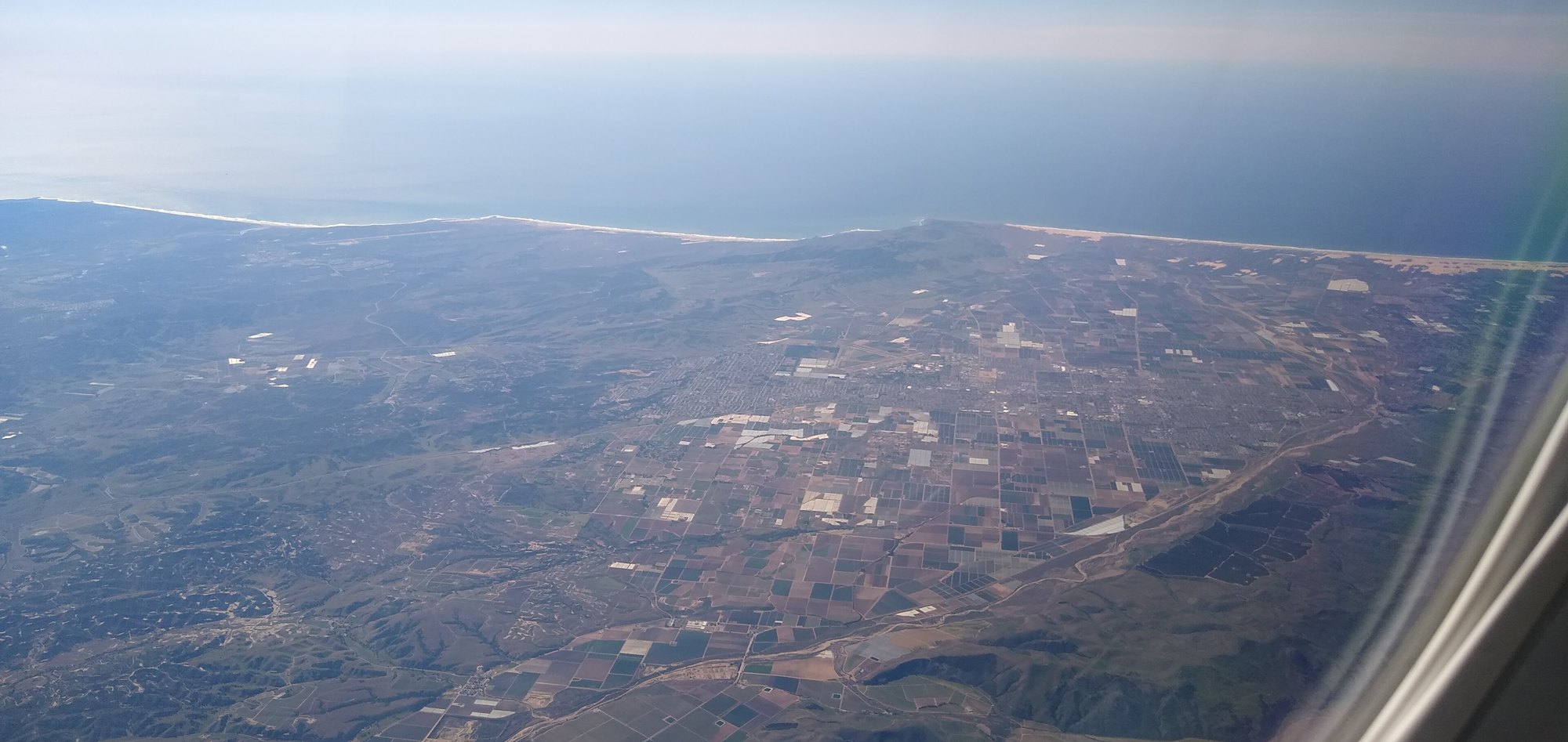
Aerial view of Santa Maria

Outdoors

Fishing near Santa Maria

Lakes, rivers and recreation areas near Santa Maria where fishing is allowed, closest first.

Good to know: Anyone 16 or older generally needs a state fishing license; seasons, limits and special rules vary by water. California license information ↗

Within 30 miles (1)

27 mi north · US Army Corps of Engineers

Santa Margarita Lake

Managed by San Luis Obispo County Parks, the park is set in rolling oak woodlands and offers boating, a marina and camping. Swimming and other water contact sports are prohibited.

  • Boating
  • Camping
  • Fishing
  • Picnicking
  • Water sports
  • Wildlife viewing

30 to 75 miles (10)

37 mi southeast · Bureau of Reclamation

Cachuma Lake

Cachuma Reservoir, formed by Bradbury Dam , offers a prime recreational opportunity for the south central coast area of California.

  • Biking
  • Boating
  • Camping
  • Fishing
  • Hiking
  • Horseback riding
  • Hotel/Lodge/Resort Fs Owned
  • Nature education

37 mi northwest · USDA Forest Service · Campground

Cerro Alto Campground

Cerro Alto Campground is a well-known hiking and mountain biking paradise. It is located a short distance from the sandy beaches of Morro Bay, where visitors enjoy surfing, fishing, kayaking, sailing, scuba diving and more.

  • Biking
  • Boating
  • Camping
  • Fishing
  • Hiking
  • Hunting
  • Swimming
  • Water sports

45 mi southeast · USDA Forest Service · Campground

Fremont Campground

Fremont Campground is a family-friendly facility located just off California's western coast. It provides access to a variety of hiking, biking and horseback riding trails, as well as some off-road vehicle trails, in a scenic area.

  • Biking
  • Boating
  • Camping
  • Fishing
  • Horseback riding
  • Swimming

45 mi southeast · USDA Forest Service · Campground

Los Prietos

Los Prietos Campground is situated in the Los Padres National Forest and provides access to a variety of outdoor adventures, including water-related recreation and hiking.

  • Biking
  • Camping
  • Fishing
  • Swimming

45 mi southeast · USDA Forest Service · Campground

Paradise Campground

Paradise Campground is a beautiful place to enjoy California's westernmost national forest. It provides access to a variety of recreational activities, including hiking, biking, horseback riding and more.

  • Camping
  • Fishing
  • Hiking
  • Hunting
  • Swimming

46 mi southeast · USDA Forest Service · Campground

Sage Hill

Nestled in the Santa Ynez Mountain Range, Sage Hill Campground is a great group camping spot with easy access to the Santa Ynez River.

  • Camping
  • Fishing
  • Hiking
  • Horseback riding
  • Hunting
  • Swimming

47 mi southeast · USDA Forest Service · Campground

Upper Oso Campground

Upper Oso Campground provides ample opportunity for exploration of California's coastal mountains. It is a family-friendly campground, equipped with equestrian sites, and is close to a variety of trails and several mountain streams.

  • Biking
  • Camping
  • Fishing
  • Hiking
  • Horseback riding
  • Swimming

65 mi south · National Oceanic and Atmospheric Administration

Channel Islands National Marine Sanctuary

The waters that swirl around the five islands within Channel Islands National Marine Sanctuary create a special place for several species of plants and animals.

  • Boating
  • Diving
  • Fishing
  • Kayaking
  • Paddling
  • Photography
  • Ranger programs
  • Snorkeling

72 mi southeast · Bureau of Reclamation

Lake Casitas

Lake Casitas is formed by Casitas Dam , which is a feature of the Ventura Project . Lake Casitas Recreation Area offers one of the nations best bass fishing areas.

  • Biking
  • Boating
  • Camping
  • Fishing
  • Hiking
  • Nature education
  • Picnicking
  • Ranger programs

73 mi southeast · National Park Service

Channel Islands National Park

Channel Islands National Park encompasses five remarkable islands and their ocean environment, preserving and protecting a wealth of natural and cultural resources.

  • Boating
  • Camping
  • Diving
  • Fishing
  • Hiking
  • Paddling
  • Picnicking
  • Snorkeling

Distances are straight-line miles from downtown Santa Maria. Listings come from Recreation.gov’s federal recreation database; check each official page for hours, fees, fire restrictions and closures before you go.

More outdoors near Santa Maria

Questions

Where is the closest place for fishing near Santa Maria?

Santa Margarita Lake (US Army Corps of Engineers), about 27 miles north of Santa Maria as the crow flies. Next are Cachuma Lake (37 mi) and Cerro Alto Campground (37 mi).

Do I need a fishing license near Santa Maria?

Yes, anglers 16 and older generally need a California fishing license from the state wildlife agency. Rules, seasons and limits vary by water.

Who manages these places?

Federal agencies including USDA Forest Service, Bureau of Reclamation, US Army Corps of Engineers. Each listing links to its official page for hours, fees, closures and current conditions.

Santa Maria AI

Your Santa Maria local guide
Hey there!

I'm Santa Maria AI. Ask about neighborhood food, independent shops, local history or planning a visit.

AI recommendations may be inaccurate. Verify hours and prices. Questions are processed by Cloudflare. Privacy